
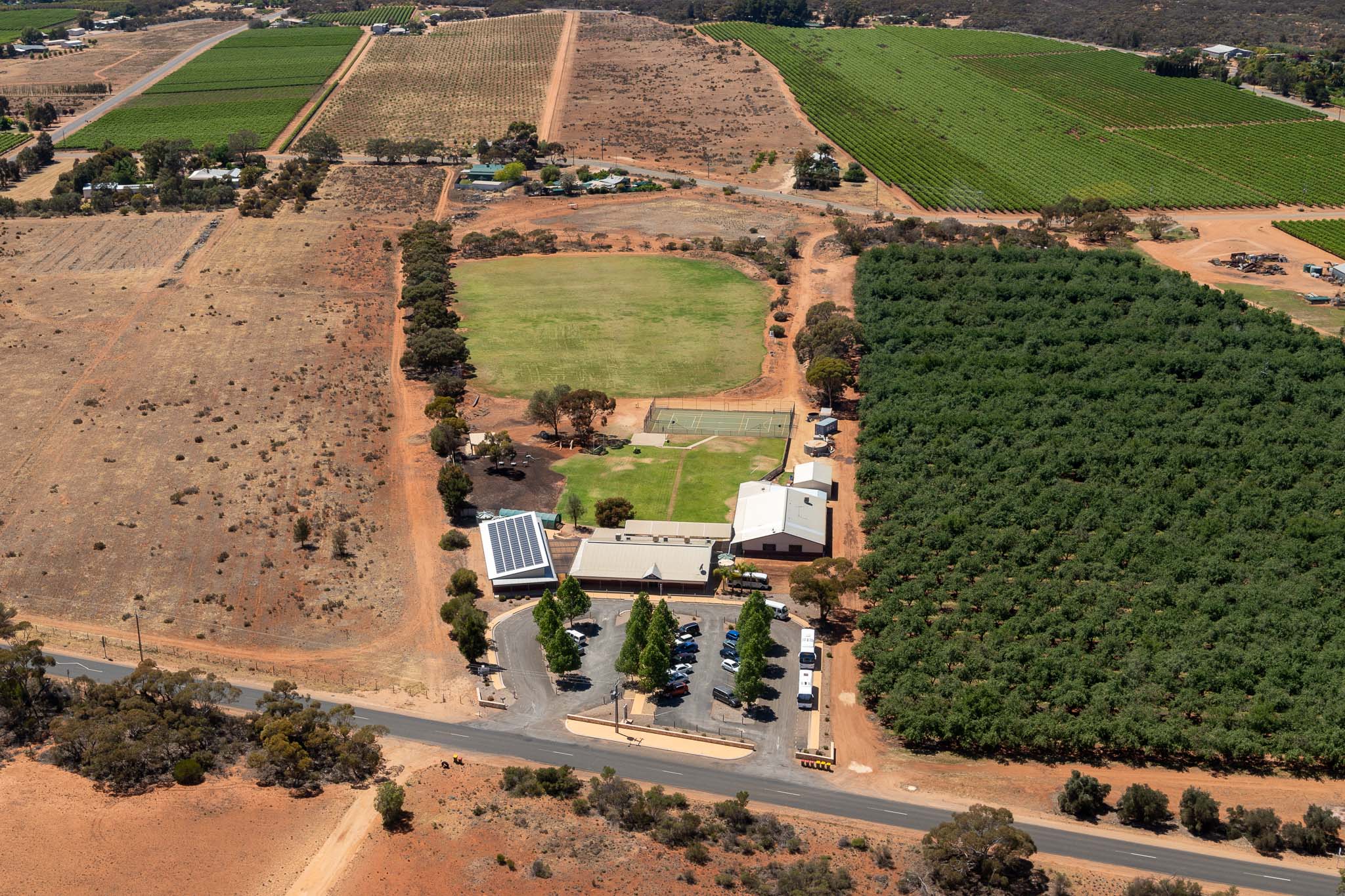
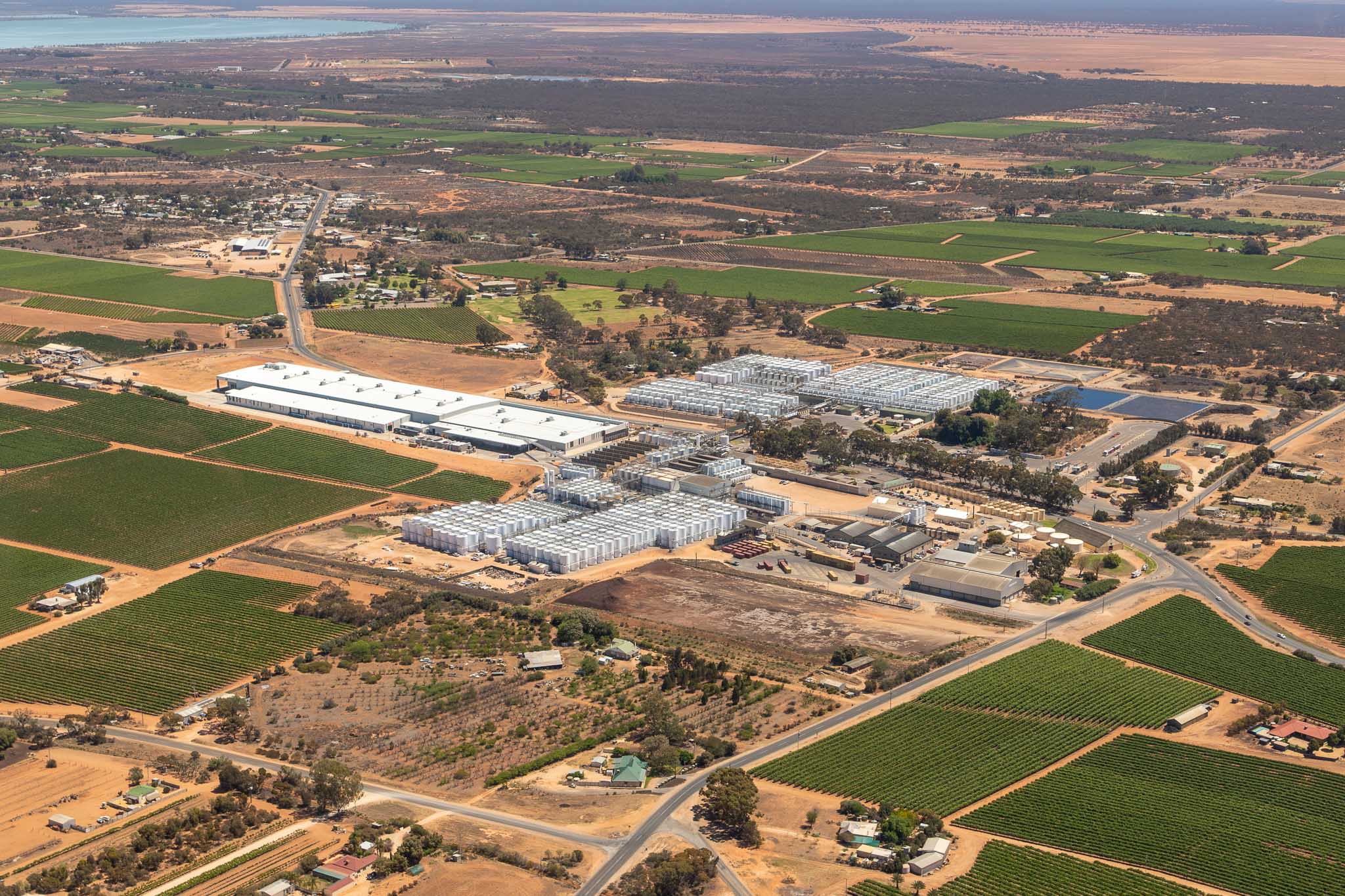
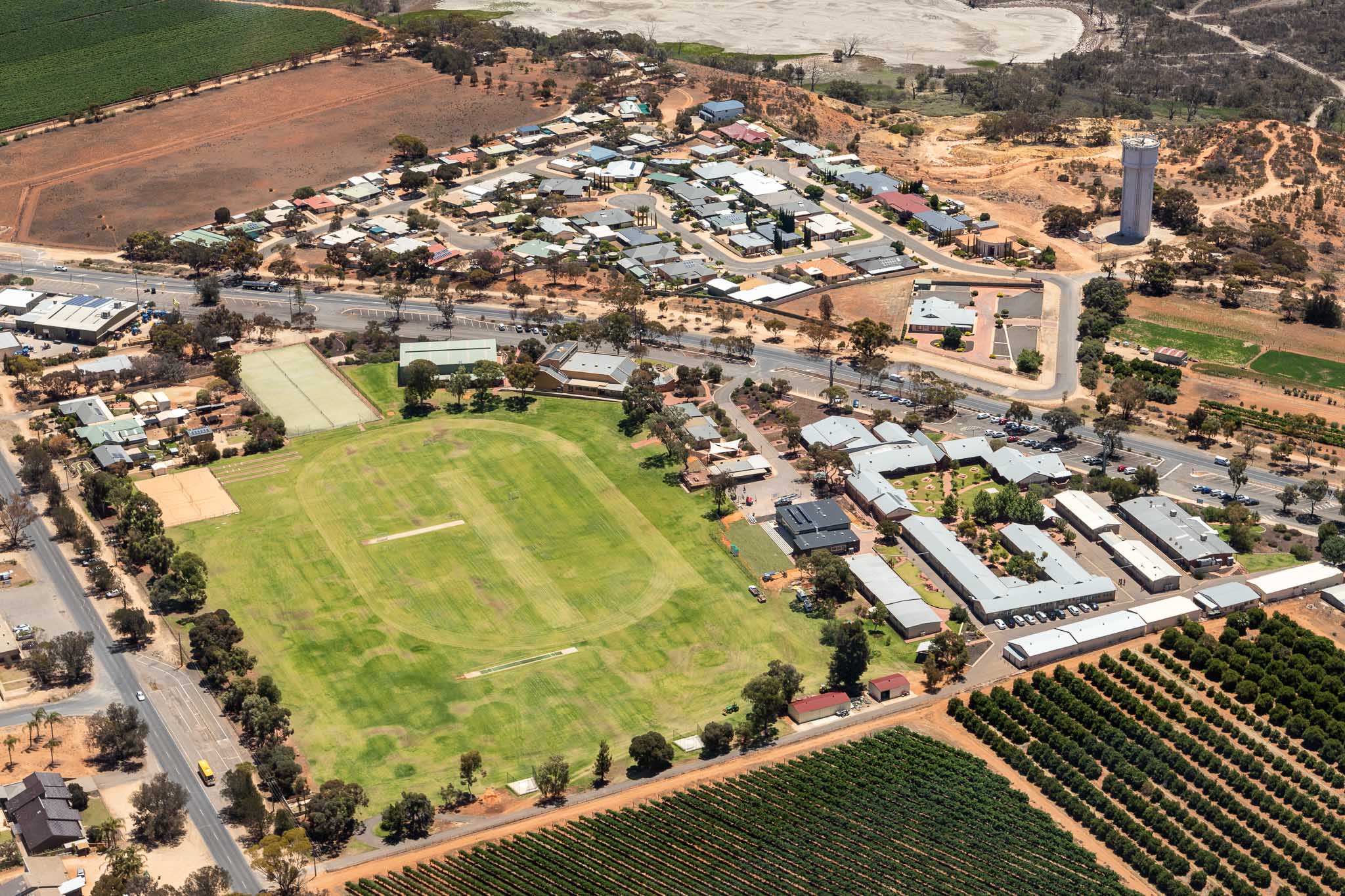
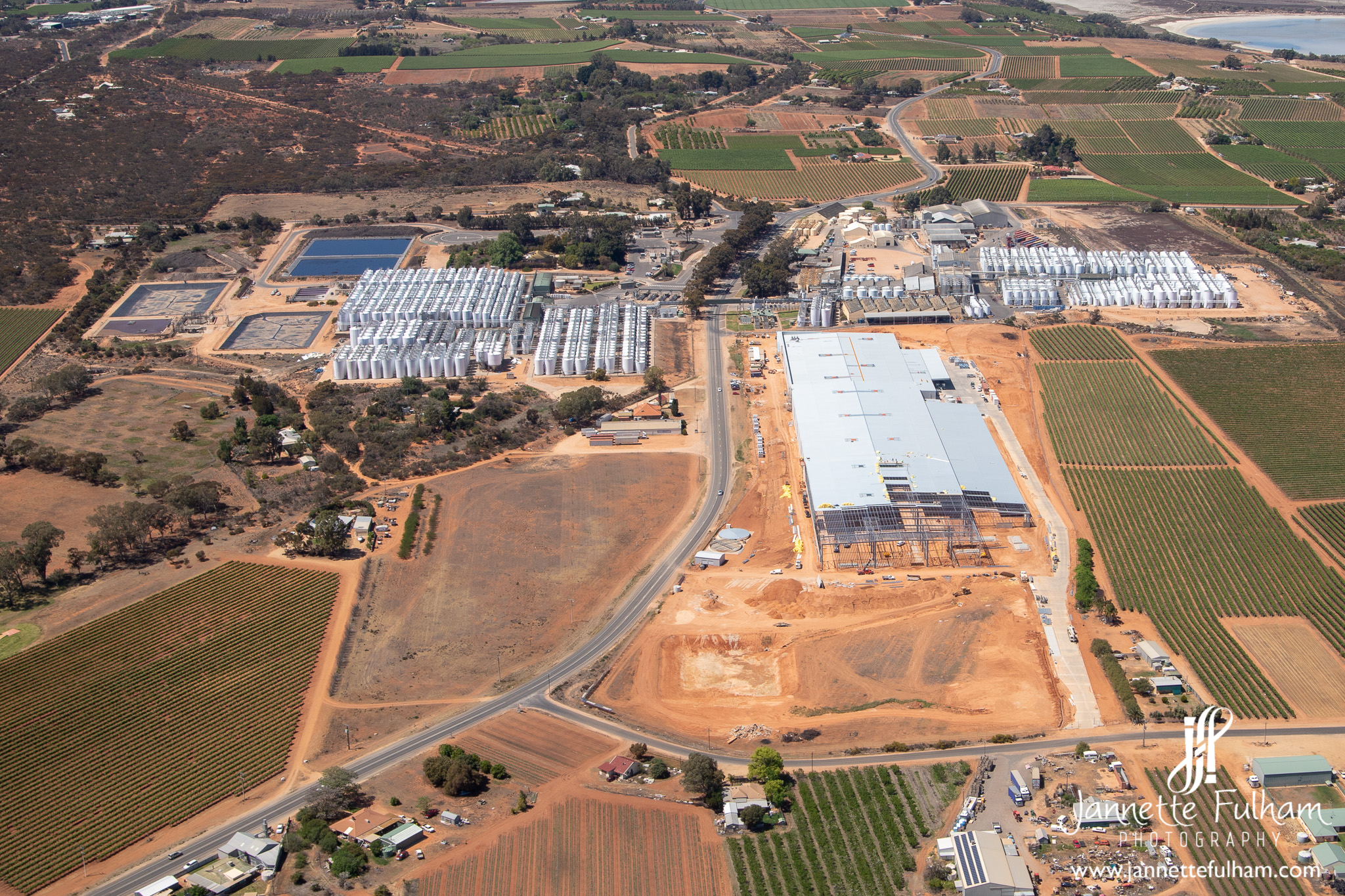
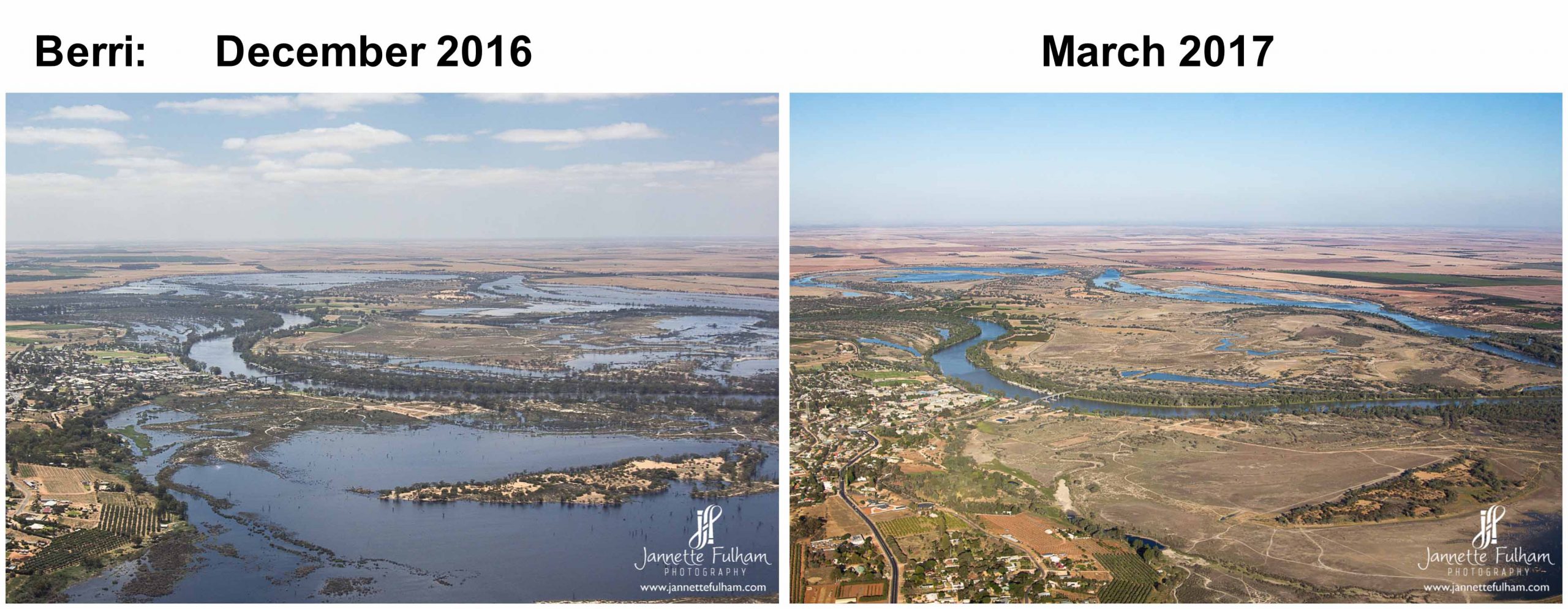
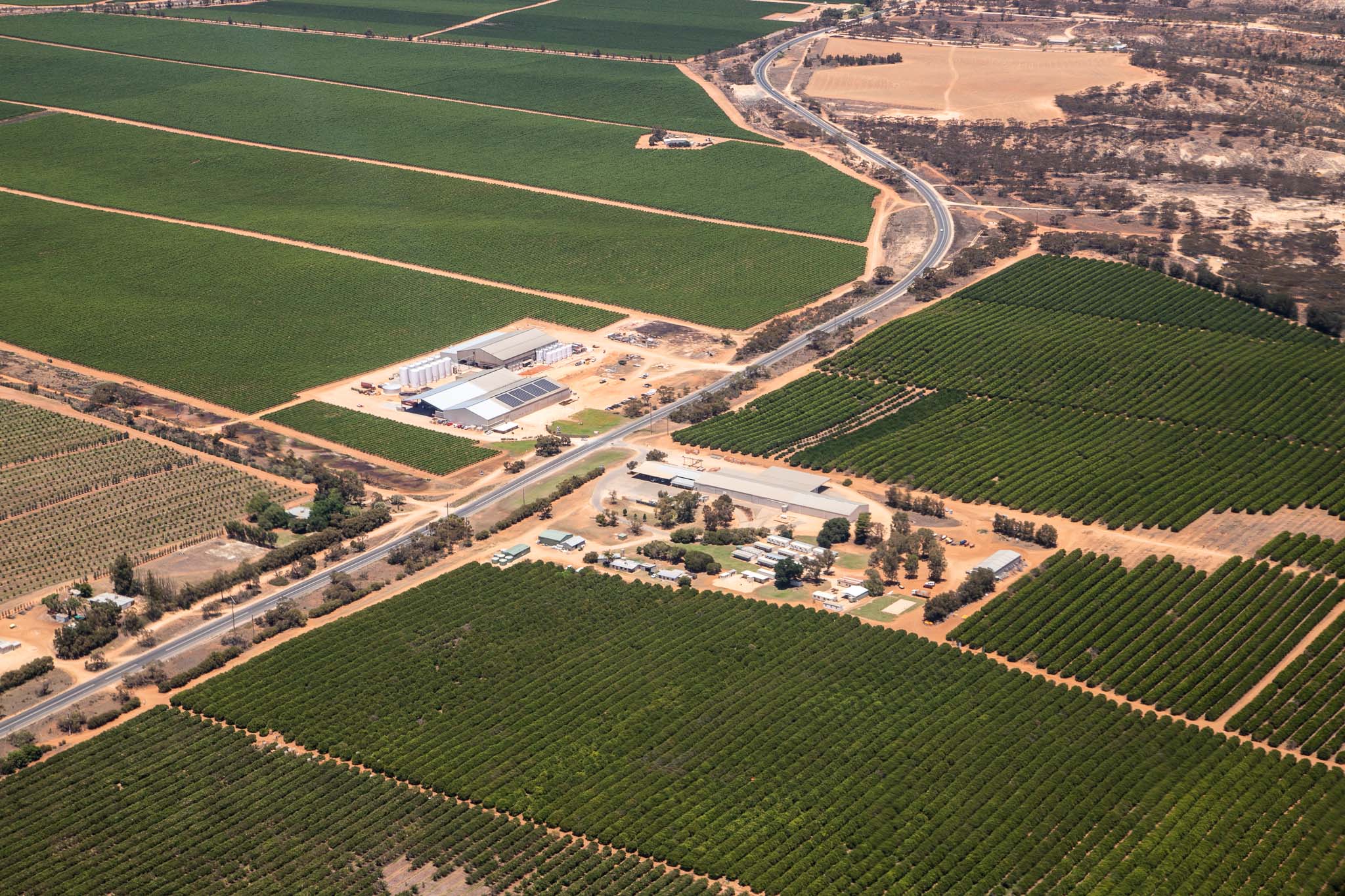
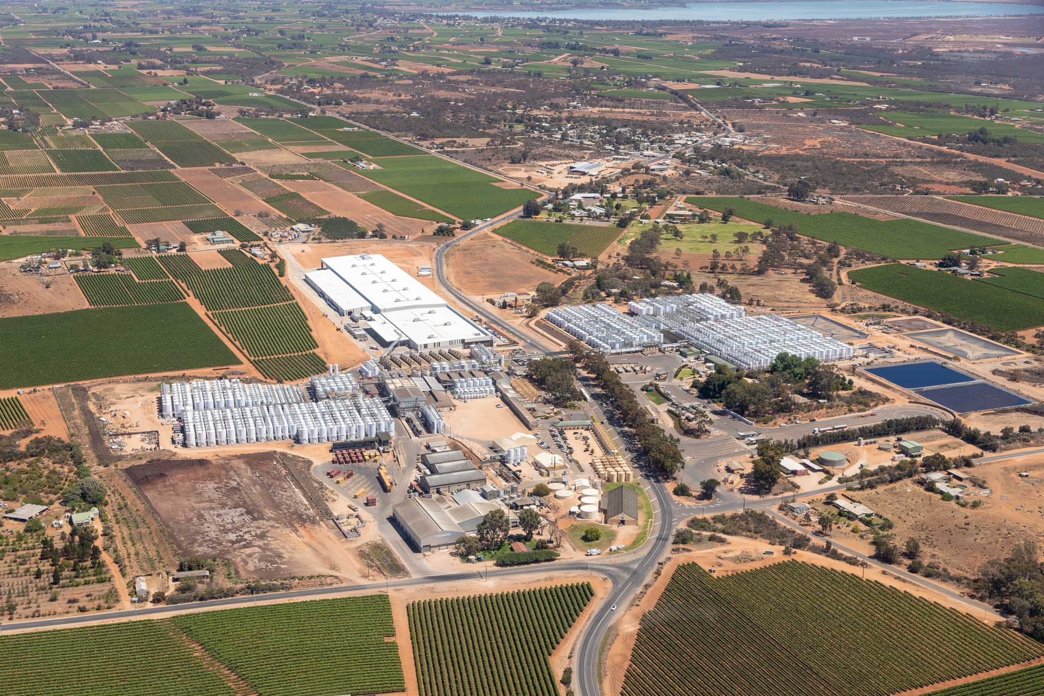
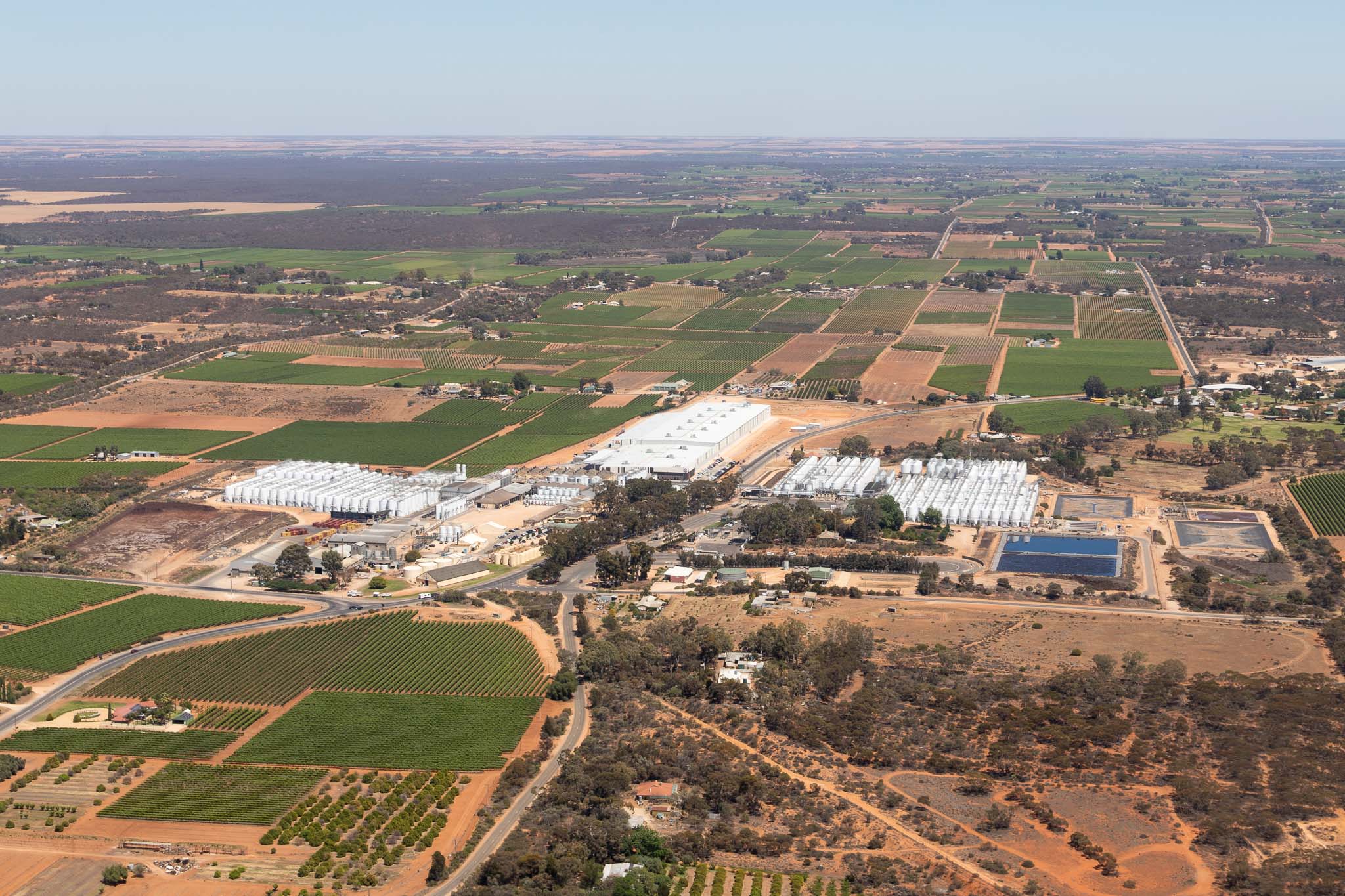
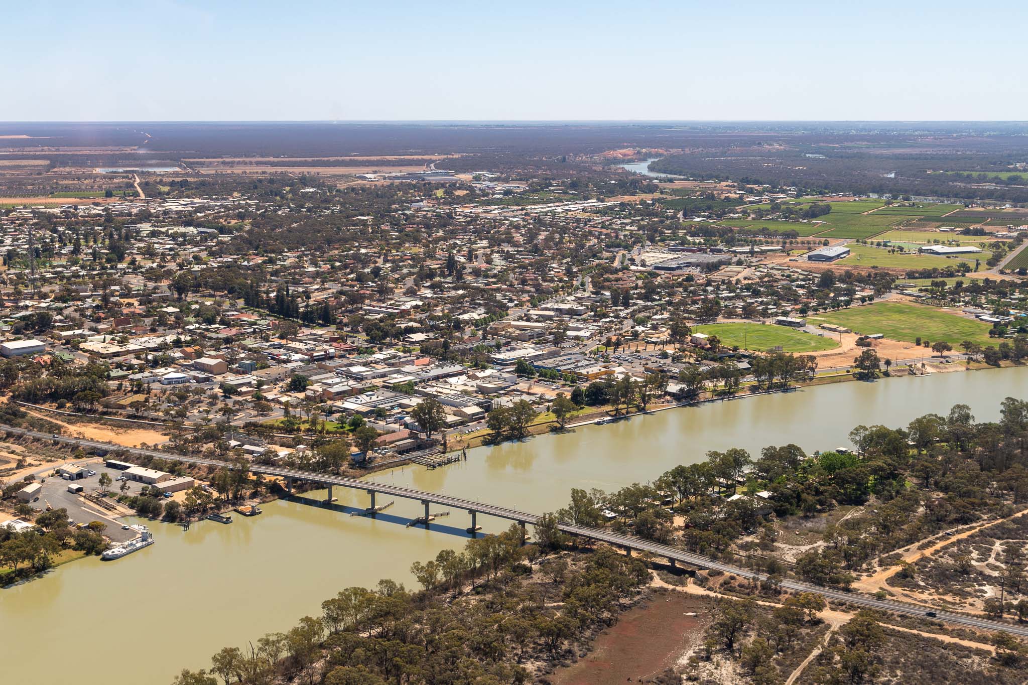
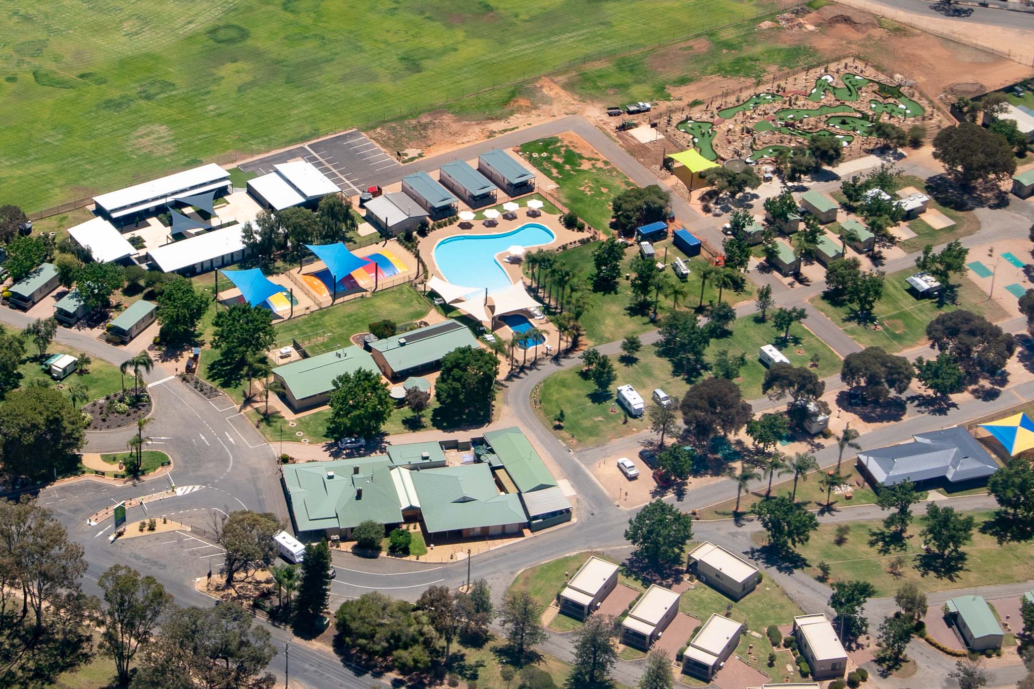
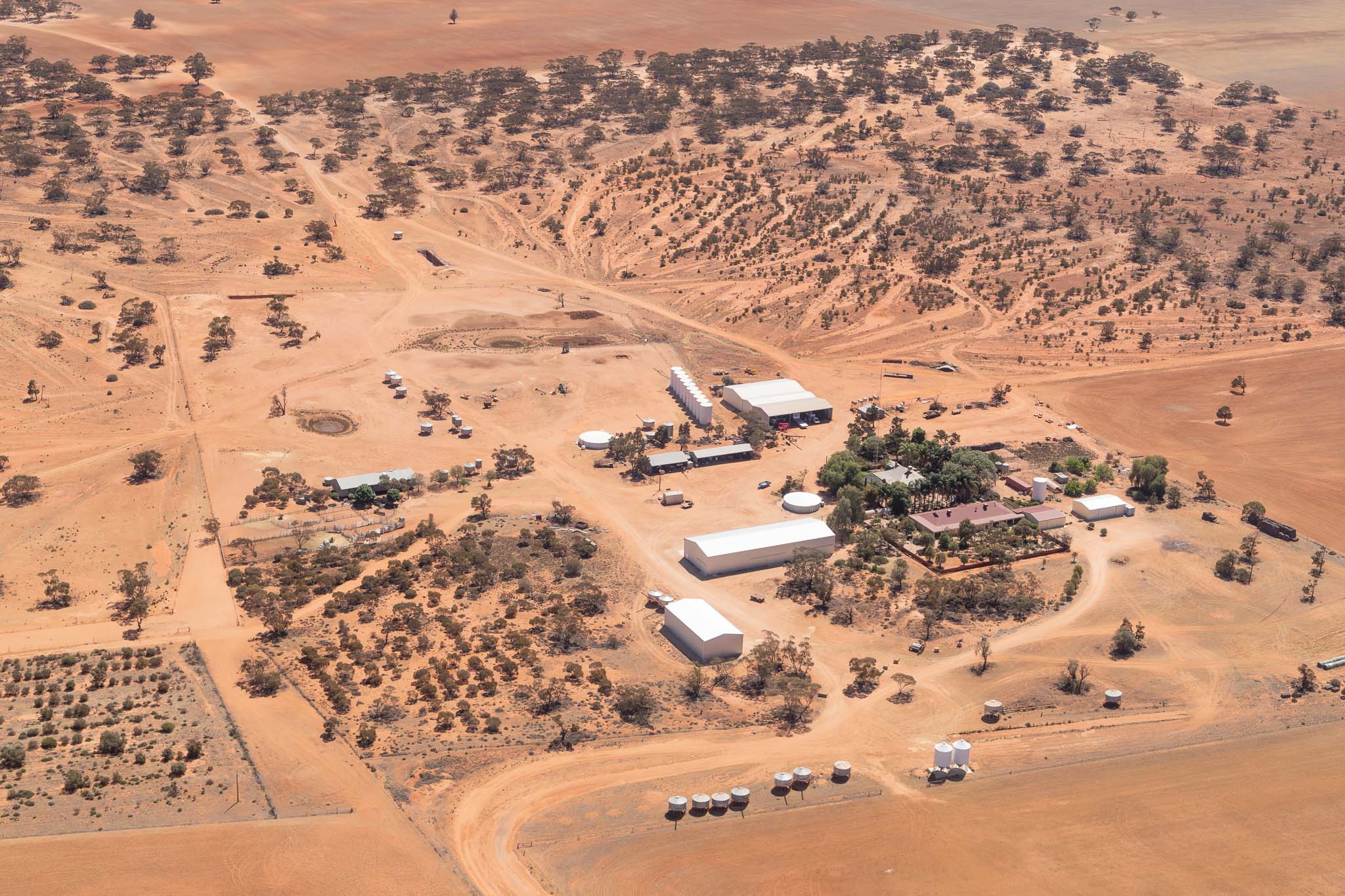
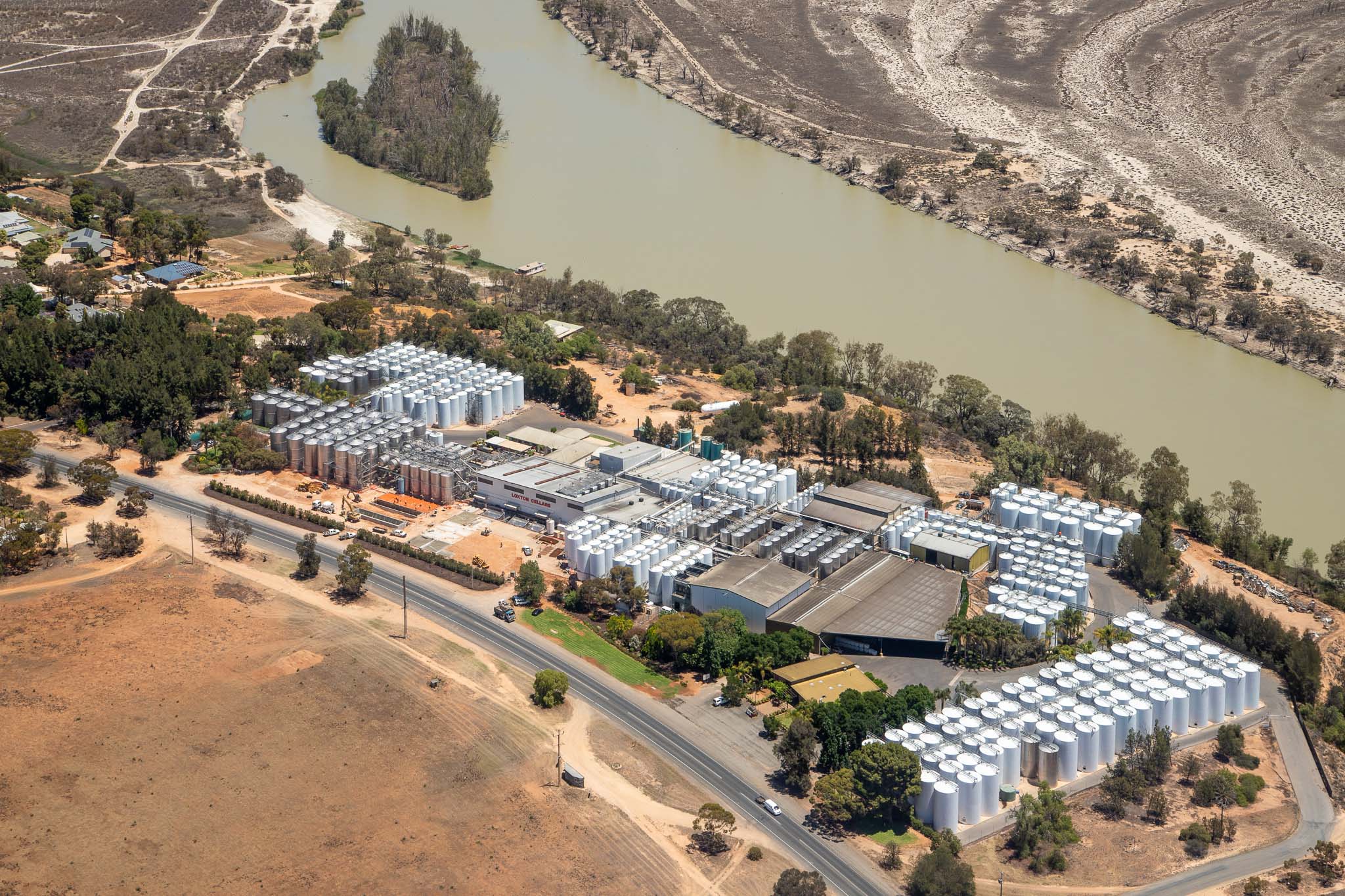
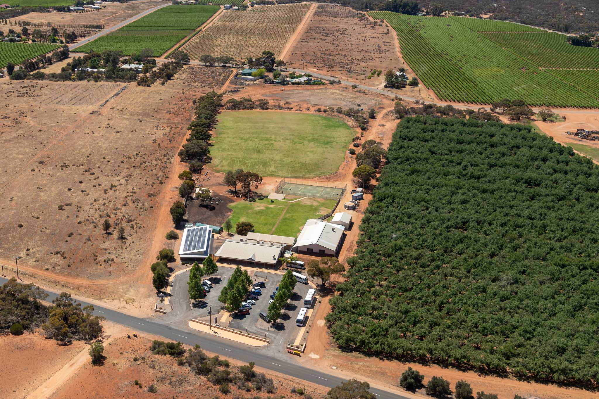
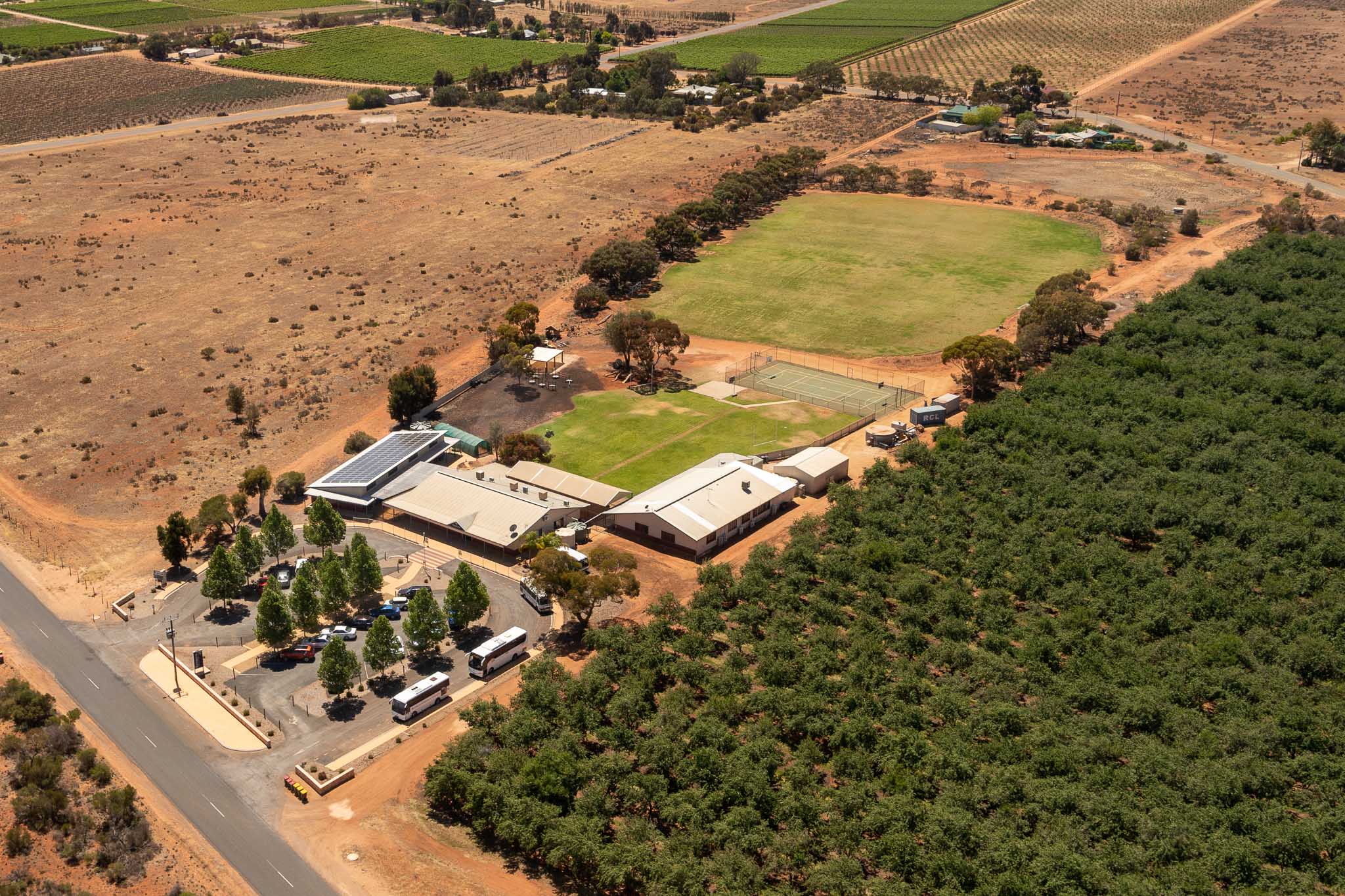
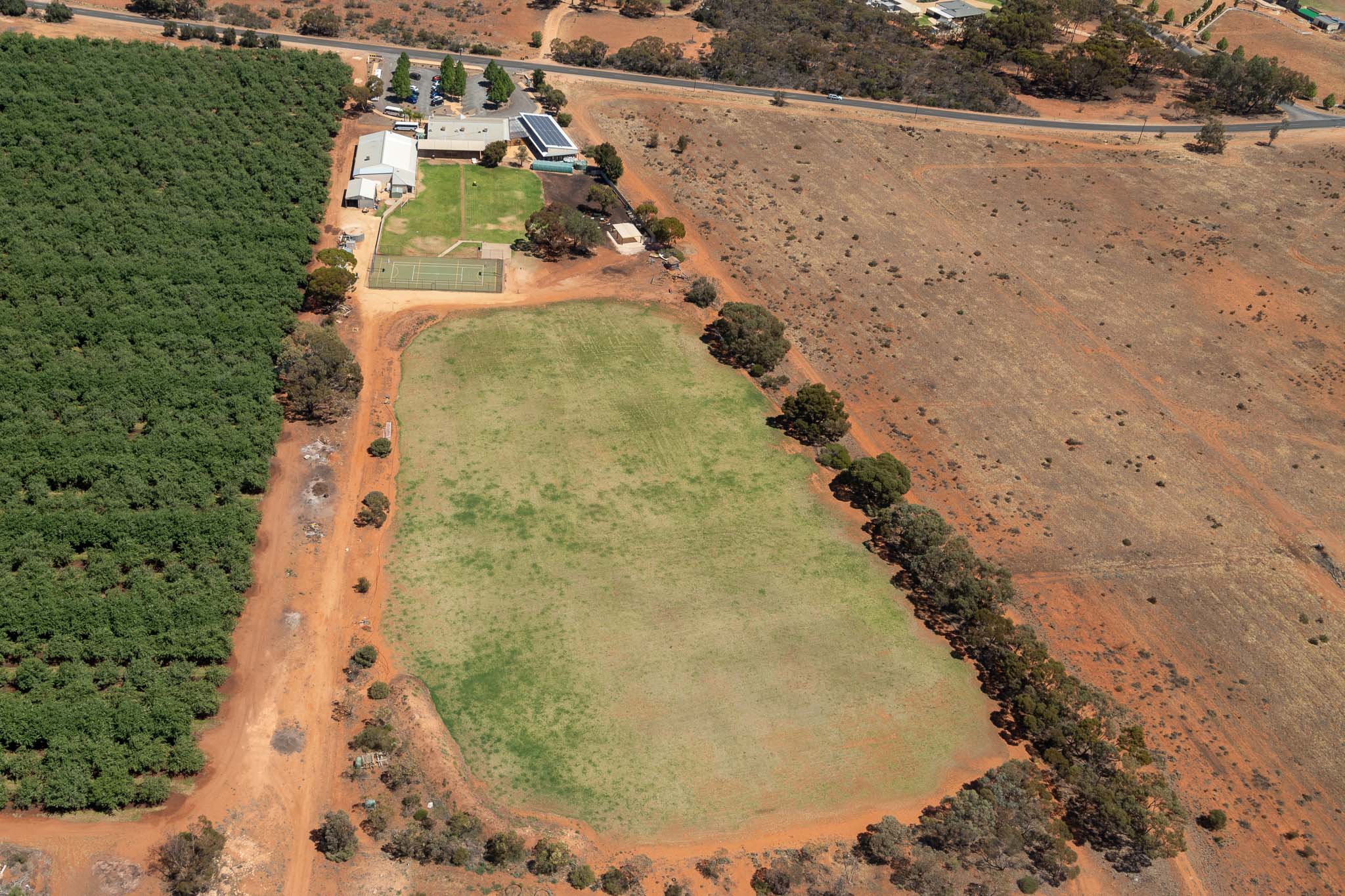
To see a unique perspective of our beautiful Riverland landscape, your business property, or private residence, is no easy task. Aerial Photography captures a view that not everyone gets to see.
Riverland Commercial Photography captures aerial photos via plane around the townships of Berri, Barmera, Loxton, Waikerie and Renmark, allowing for photos to be taken up to 9500 feet high (2900m). The higher altitude gives a wider field of view than drone photography meaning that large properties are easier to photograph. A 30-60 minute flight is allowed for most properties, however longer flight times can be arranged depending on the size of your property and distance from Berri.
Photos are taken from various directions, angles and heights. Flights are scheduled with consideration to weather conditions, cloud cover, atmospheric haze, wind speed, and position of the sun.
It is preferred that aerial photography sessions be booked at least two weeks in advance to allow for planning and good weather conditions.
Images can be supplied as digital files or as printed products, such as acrylic, wood, canvas, framed canvas, framed print and more.
Pricing and Details – All enquiries are welcome.