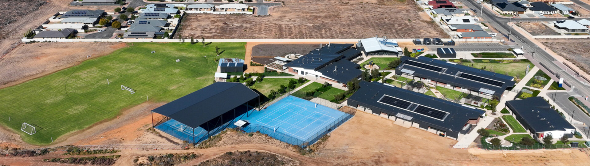
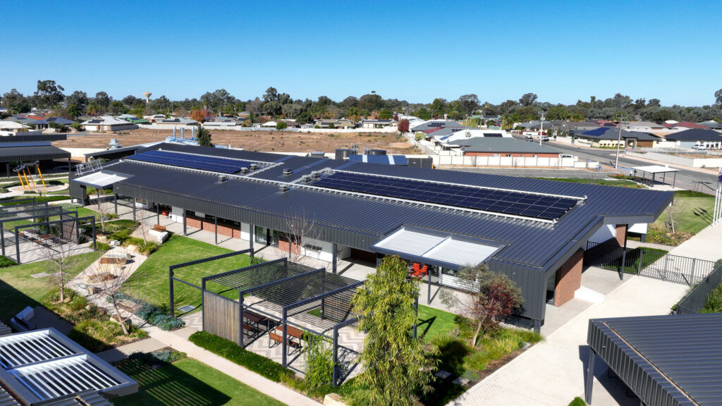
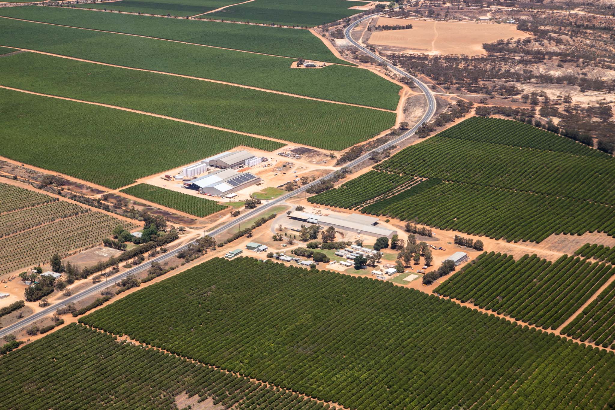
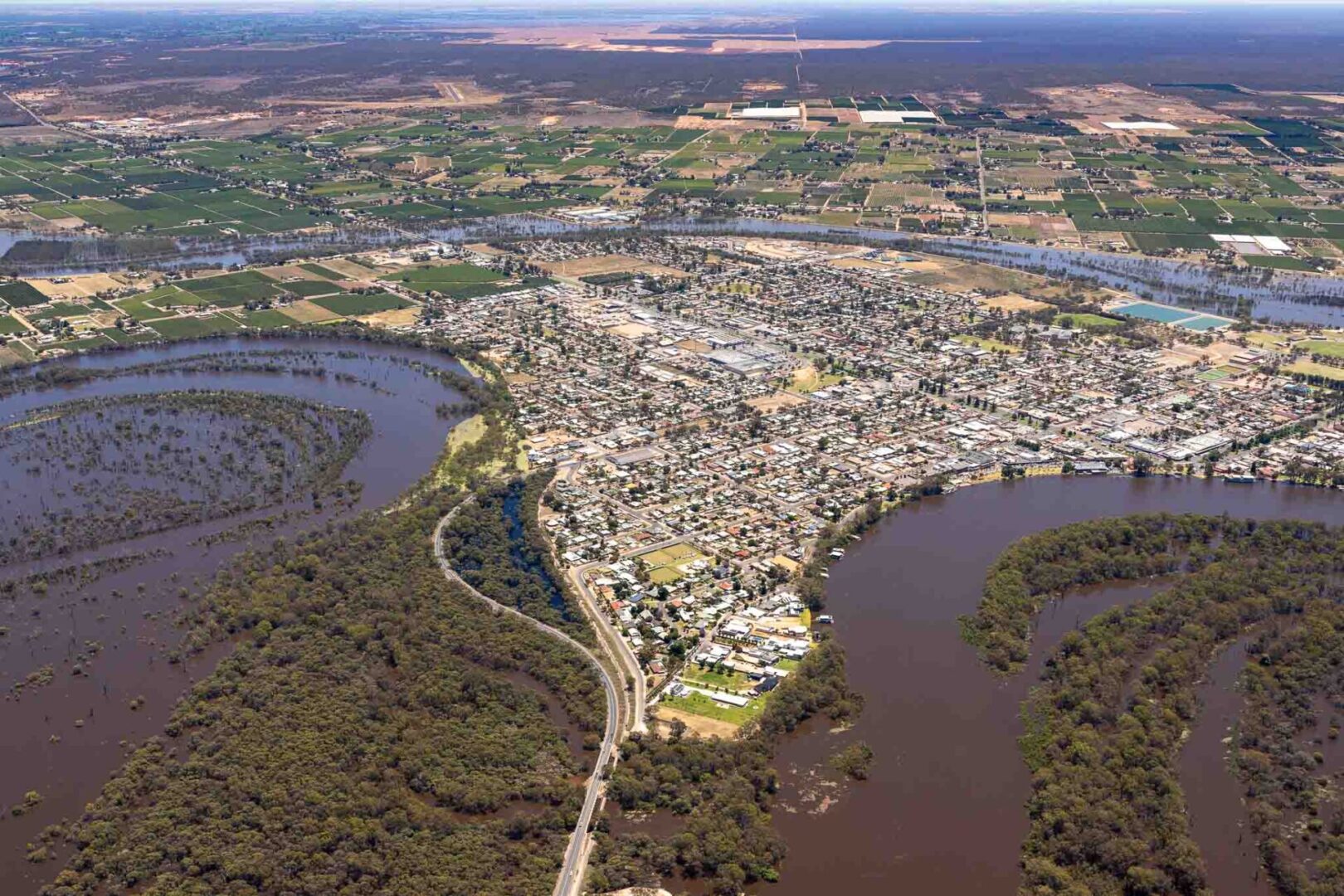
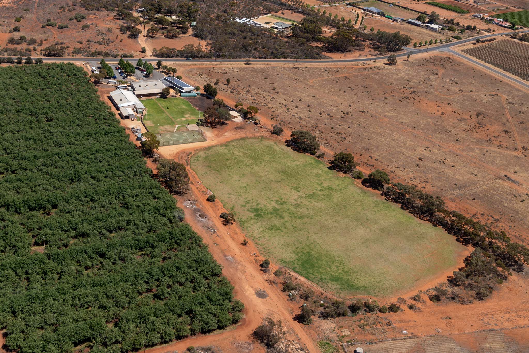
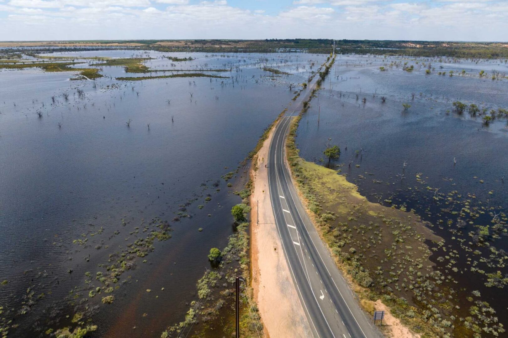
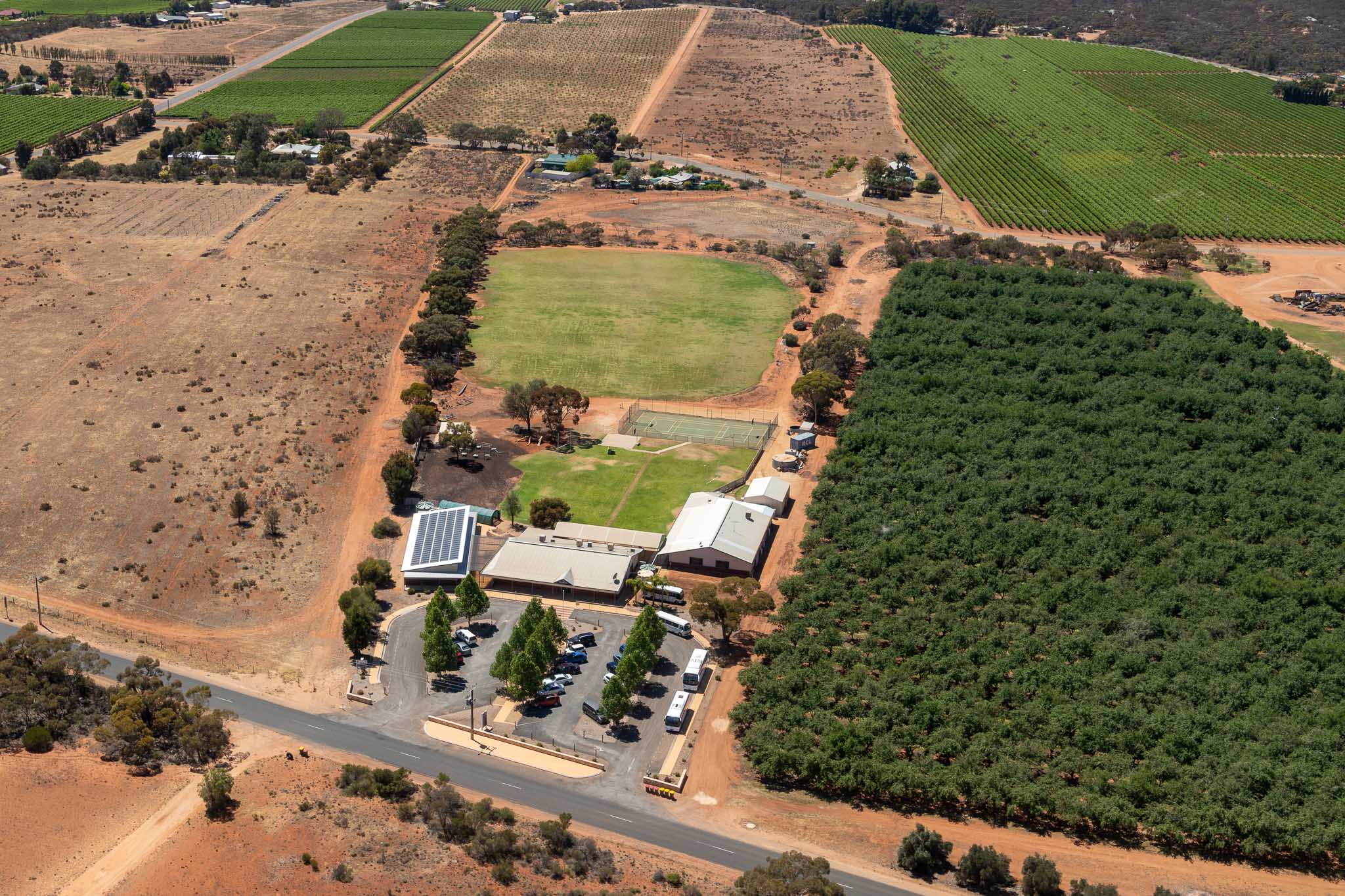
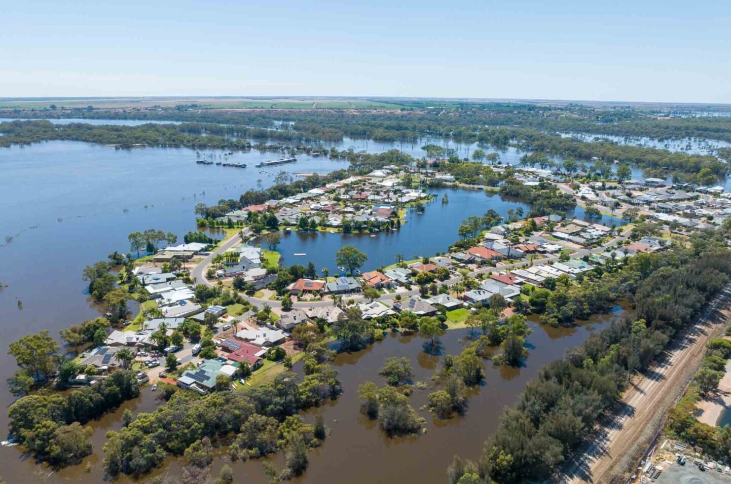
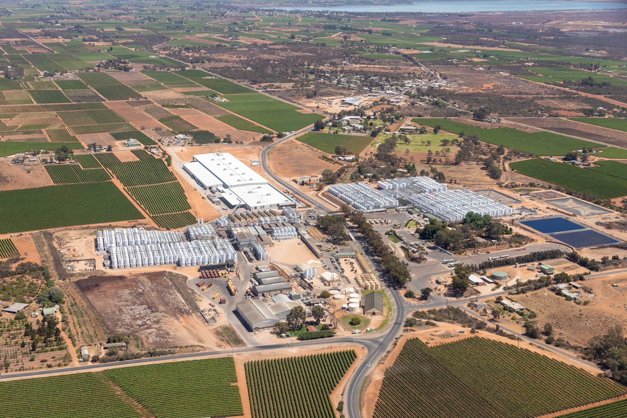
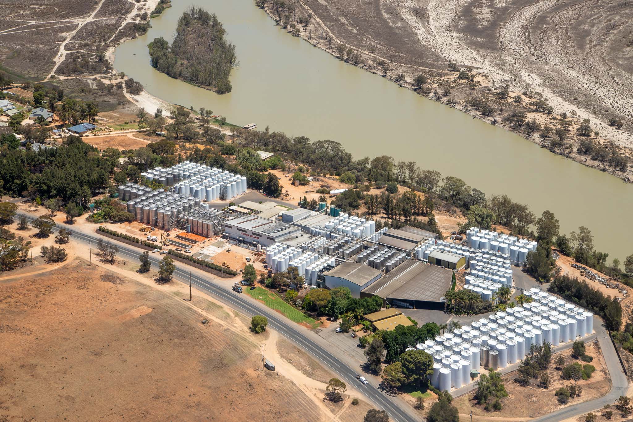
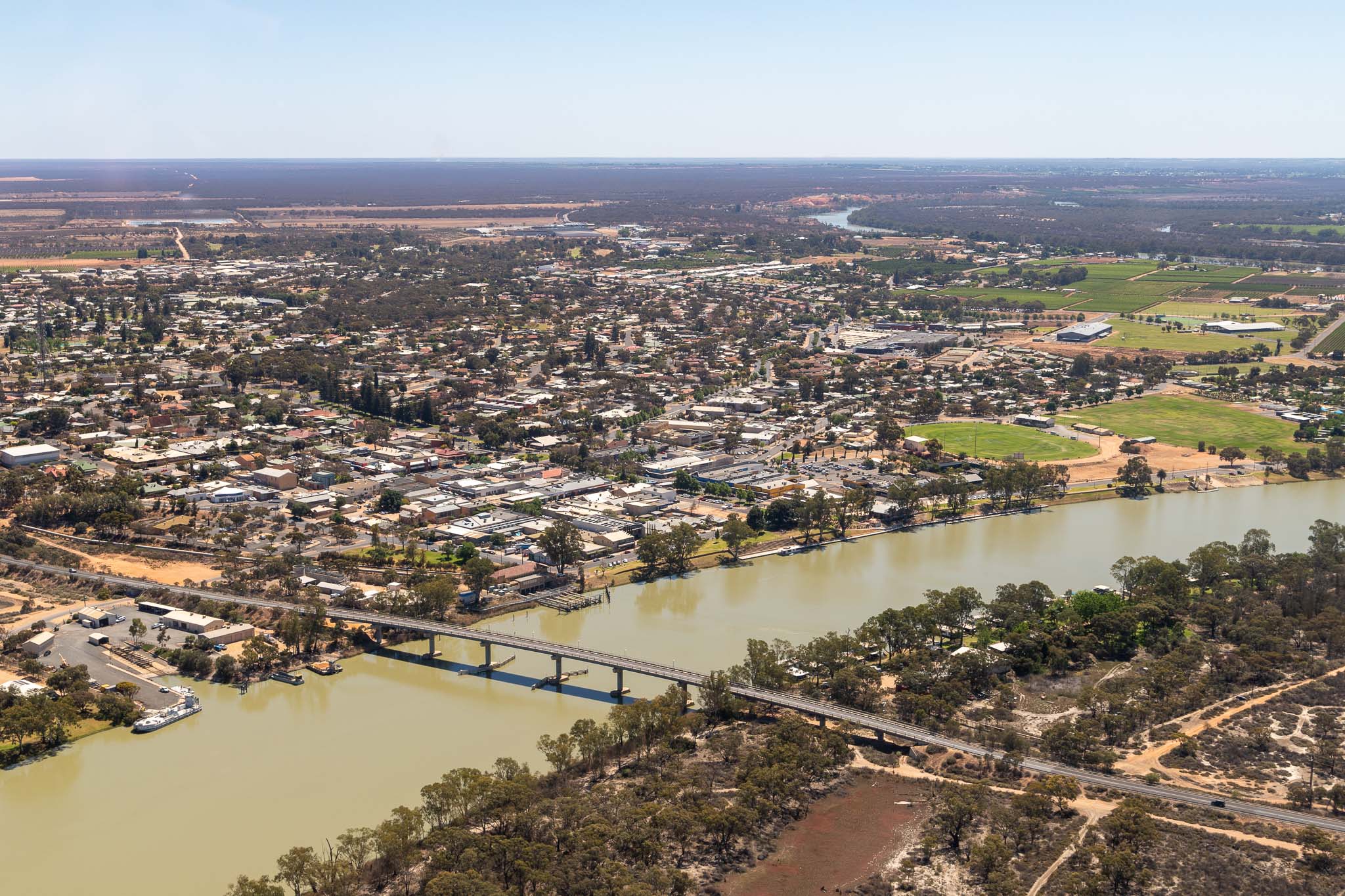
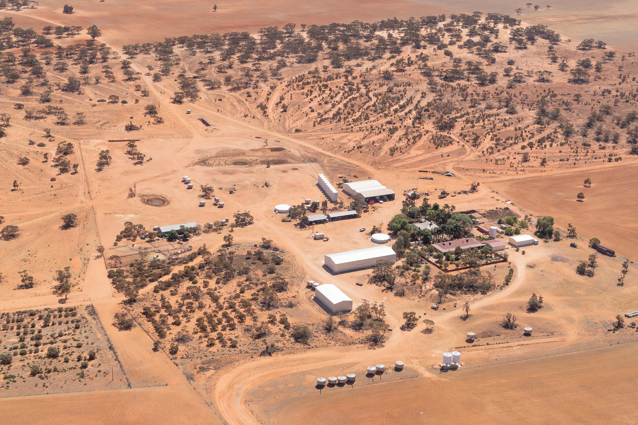
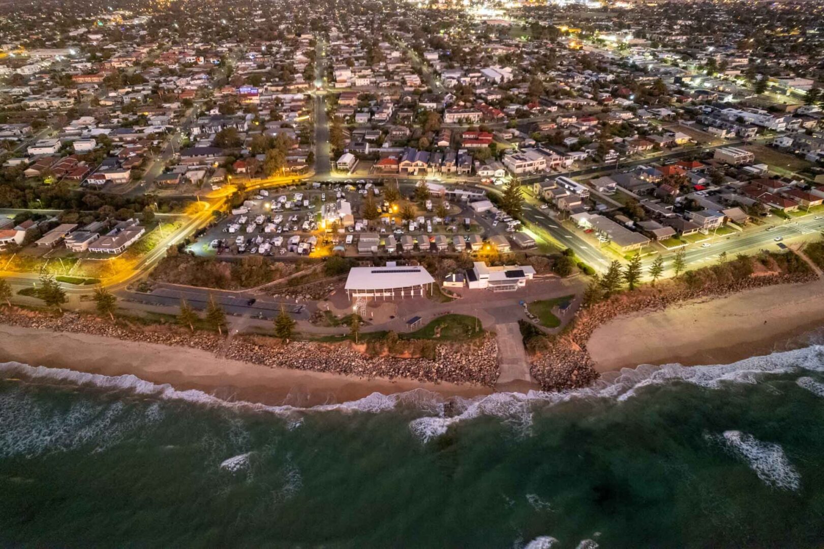
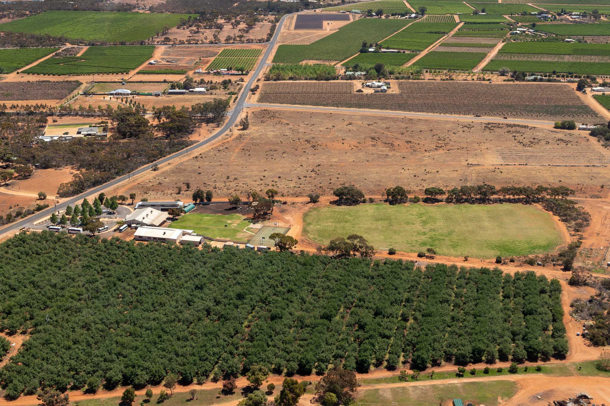
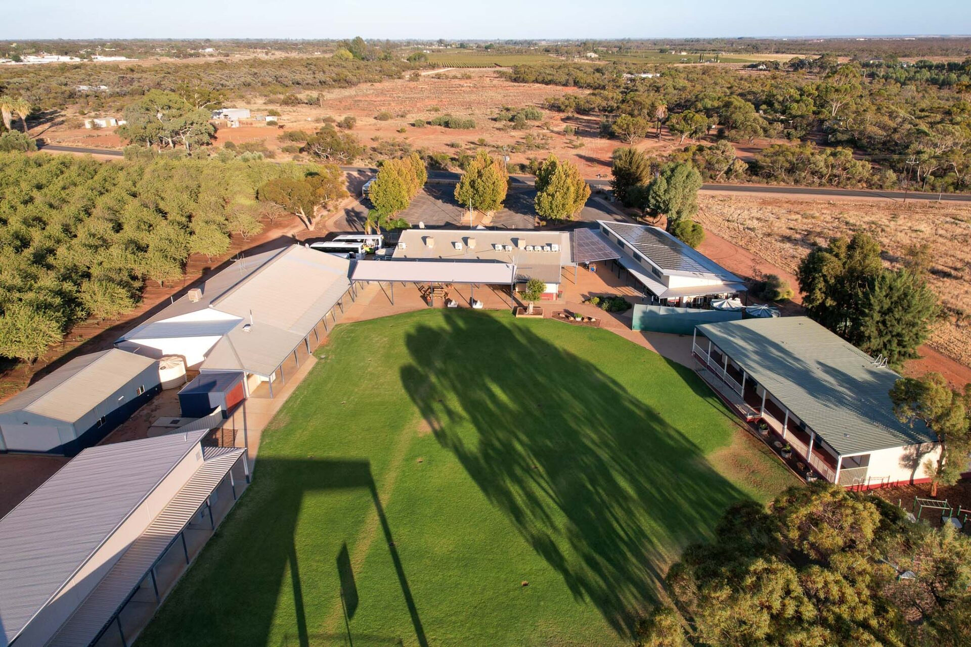
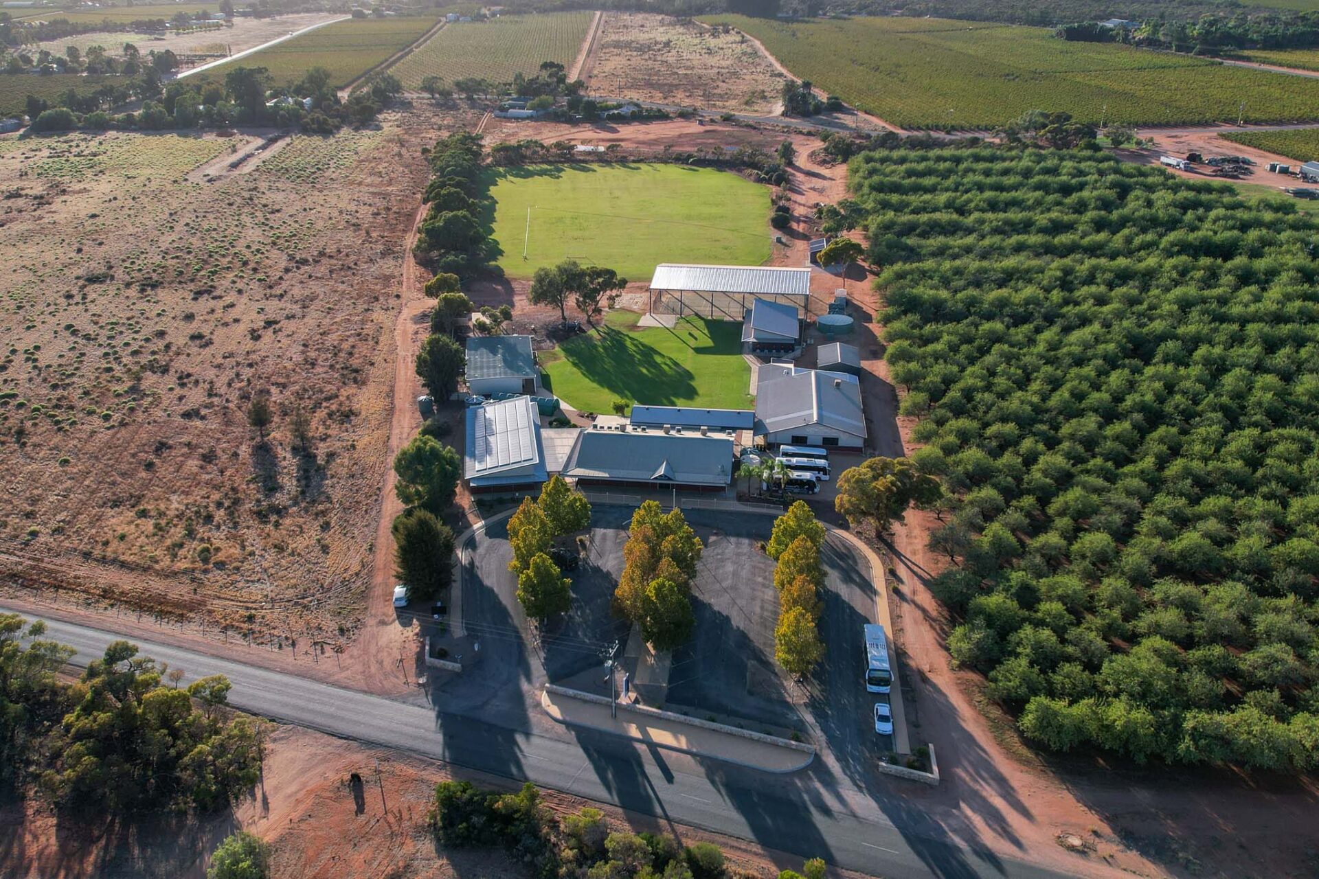
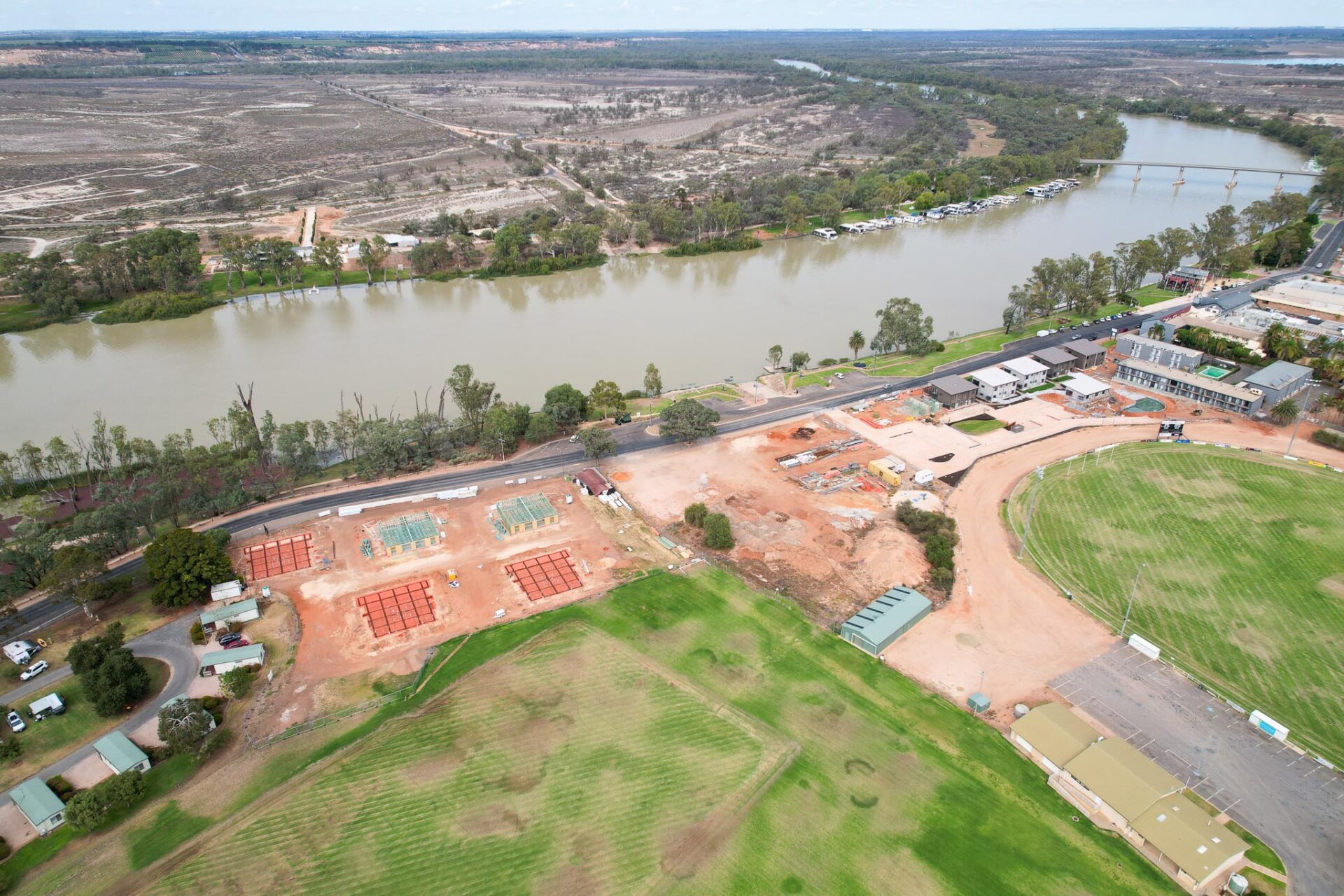
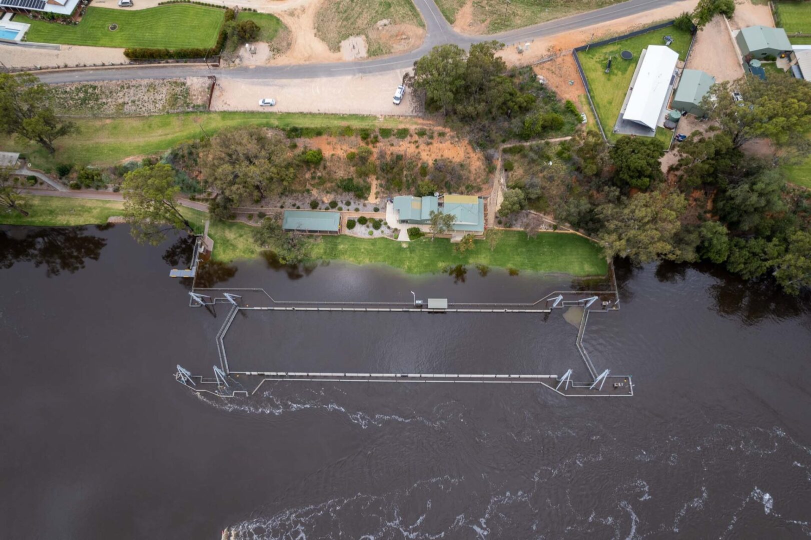
To see a unique perspective of our beautiful Riverland landscape, your business property, or private residence, is no easy task. Aerial Photography captures a view that not everyone gets to see.
Riverland Commercial Photography offers both plane and drone photography, and drone videography, around the townships of Berri, Barmera, Loxton, Waikerie Renmark, and throughout South Australia.
Aerial photos are taken from various directions, angles and heights. Flights are scheduled with consideration to weather conditions, cloud cover, atmospheric haze, wind speed, and position of the sun.
Images can be supplied as digital files or as printed products, such as acrylic, wood, canvas, framed canvas, framed print and more.
Drone: – Standard operations can be completed up to 120m/400ft above ground level. Permission from CASA can be obtained for operations higher than 120m. – Lower altitude shows the shape across the landscape, such as hills and valleys. – Plan views can be taken (looking directly down). – The ability to get closer to the property and buildings. – Best option if you want to include people in the photos. – It’s easy to manoeuvre the drone to get images both closer and further away.
Plane: – Between 1000 feet and 9500 feet (2900m). – Higher altitude gives a wider field of view. – Best for very large properties such as farms, to include the surrounding farm as well as buildings. – Taken using a DSLR camera, which enables the use of zoom lenses to get a range of ‘closer’ and ‘further away’ photos without physically moving closer or further away.